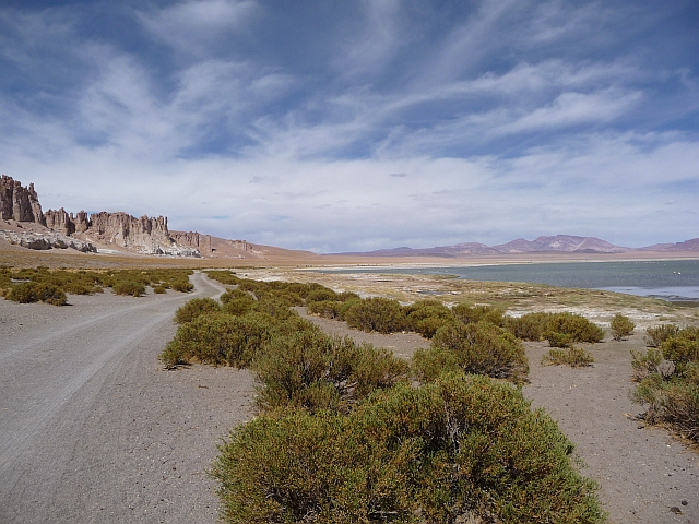
The Salar de Tara is a beautiful place to camp with spectacular views of flamingos on the lake and the Tara ignimbrite in the distance. While you will be tempted to set up tents under shelter in the little cabins by the lake, beware because they are infested with rats! Camping outside may be the better option.
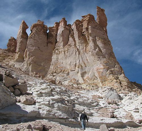
The Tara ignimbrite consists of two major units: lower Tara and Tara. The lower Tara is known as the Guacha because its source area is the Guacha caldera. It was originally mapped as the Atana ignimbrite but was re-labeled as a Guacha-sourced ignimbrite that ponded in the La Pacana caldera. The Tara lies above the Guacha and is comprised of 4 sub-units labeled 2-5, 5 being the youngest. The Tara is one cooling unit with huge breaks in time.

The Guacha, 5.6 Ma is a crystal-rich, lithic-rich andesite that contains large pumice clasts and bimodal quartz phenocrysts. The Tara, 3.68 Ma contains less pumice and lithics and has a more ashy matrix. Between the Guacha and the Tara is a Plinian deposit that is very crystal-rich and clast supported.

We had some visitors in our camp the next morning!
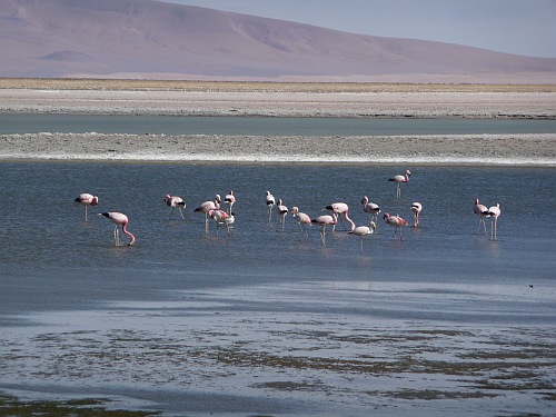
Did we mention the flamingos...?!