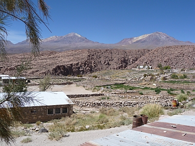
The Village of Tocance sits along the south end of the Tocance river canyon.
The United Nations World Heritage entry for Tocance reads as follows:
It follows an agglutinated pattern of typical Andean architecture based on stone masonry and roofs of Cactaceae wood covered by vegetable fibers. It is worth mentioning that the space is divided according to some characteristic Andean criteria based on the principles of duality and tripartition, which are a manifestation of typically Andean cultural features. In fact, the villagers distinguish three sectors: the "Toconce town", the highest area near the church, "Katunmarca", to the center and West of town, and "the Chaco town" in the lowest access area. Toconce is part of, and associated with, important archeological sites, bearing witness to the presence and continuity of the Andean people's culture. Toconce is a highly traditional community with regard to its economy, architecture and craftsmanship, cultivating a close relation with neighbor communities which intensifies on the occasion of both religious and economic ritual festivities, such as the ceremonies of the "Cleaning of Irrigation Channels", and the "Cattle Adornment".
We were also able to buy a Coke for the first time here... there was great rejoicing!
For more information on the history and culture of the area see: